.jpg) |
 |
|
Field school students map features found
near the waterfront excavation.
|

The results of the 2004 field season will
be posted in the coming months.
Until then, enjoy these photos of the
excavation.
Also, please click on the video links
to hear Dr. Martin Gallivan and other project members describe what
was found.
Summary of the Second Season
Hear Dr. Gallivan talk about what we found
during the second field season at Werowocomoco:
2004 Summary
The
Ditches
The ditches we're finding are more than
just holes in the ground. Click here to find out how they fit in
the Werowocomoco landscape...:
Ditch Description 2004
...and how they fit within the ethnographic
record:
Ditches in the Ethnographic Record
Remote
Sensing
Find out more about our work with Berle
Clay and his remote sensing techniques at Werowocomoco by clicking
here:
Berle Clay
video part 1
Berle Clay
video part 2
Dr. Gallivan
describes how Berle Clay's work helped guide our excavations
.jpg) |
|
|
Field school student Irena Zabel draws the
profile of a ditch found in the pasture excavation area.
|
 |
|
|
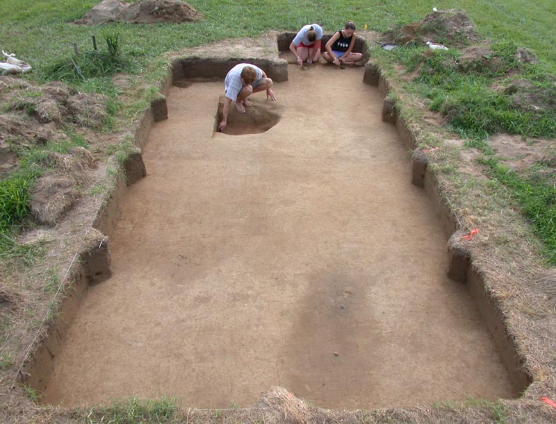
Field school students Nick Anderson, Stephanie
Corrigan, and Theresa Owen uncover a gap between the two ditches
in the pasture.
|
 |
|
|
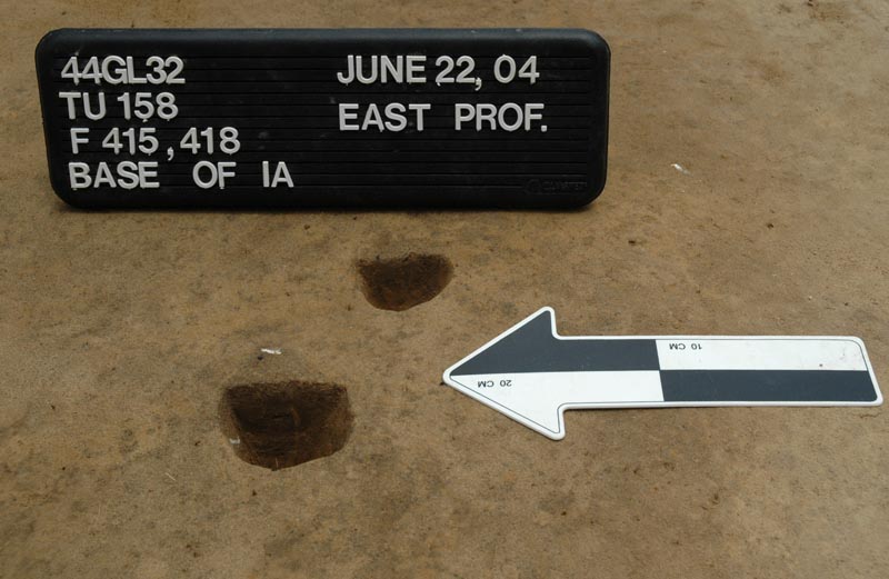
Hundreds of postmolds like these have been
found across the site. They mark the locations of Virginia
Indian buildings.
|
 |
|
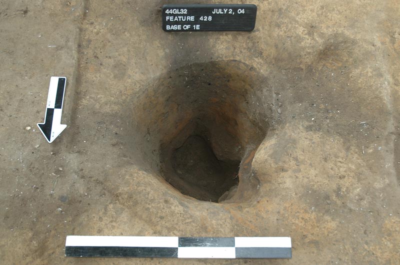
|
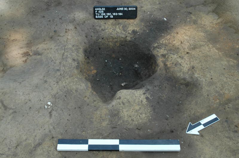
This large tree hole was filled with broken
pottery, stone tools, and food remains during the late Woodland
period.
|
 |
|
|
After the taproot was excavated you could
clearly see the extensions of the trees roots, filled with
artifacts and food remains from before 1607.
|
 |
|
The path of the ditches turned eastward.
|
 |
|
|
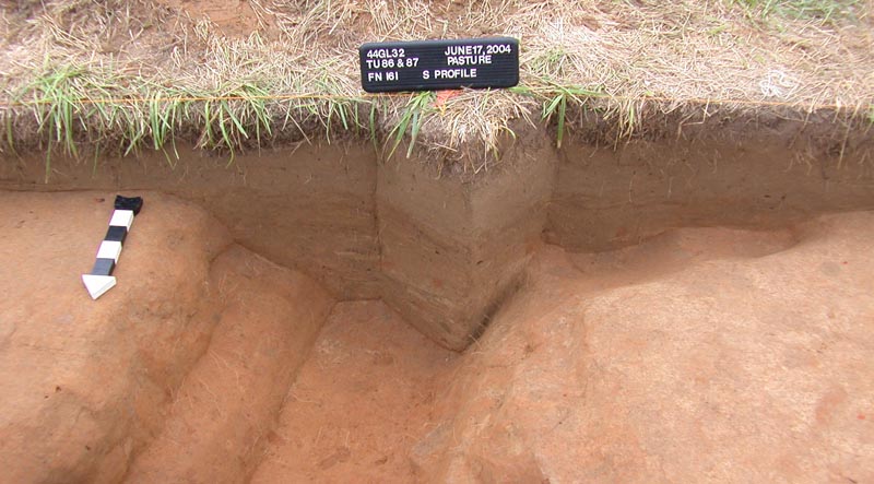
The ditches slowly filled with silt and
sand after they were abandoned. You can see each of the different
lenses of soil in the wall. The uniform soil above it was
plowed into a single layer during the historic period.
|
.jpg) |
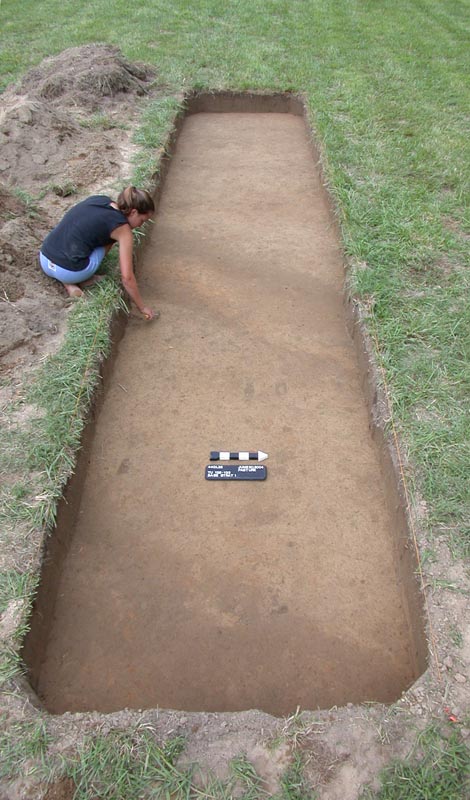
|
Field school students clean a test unit
and measure the location of features found in the pasture
excavation area.
|
|